GPS Linking
When scanning elements in any module, GPS linking is disabled by default. To attach an element to GPS coordinates, enable GPS Linking by tapping the ![]() icon in the top-right corner of the screen. After scanning, elements will be linked to their geolocation and displayed on the map.
icon in the top-right corner of the screen. After scanning, elements will be linked to their geolocation and displayed on the map.
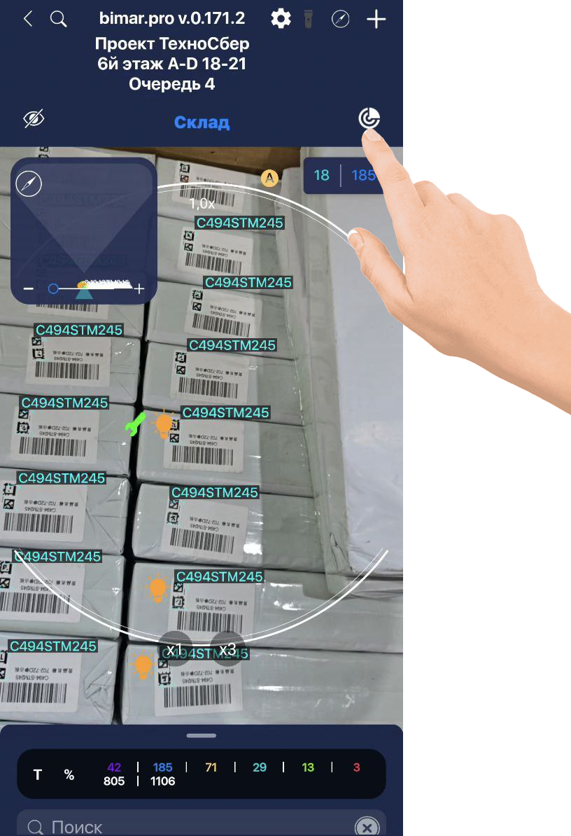
To view element locations on the map, tap the compass icon ![]() .
.
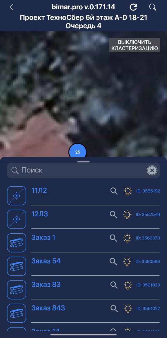
Clustering groups elements on the map and shows how many are in a given area. To see elements individually, tap TURN OFF CLUSTERING.
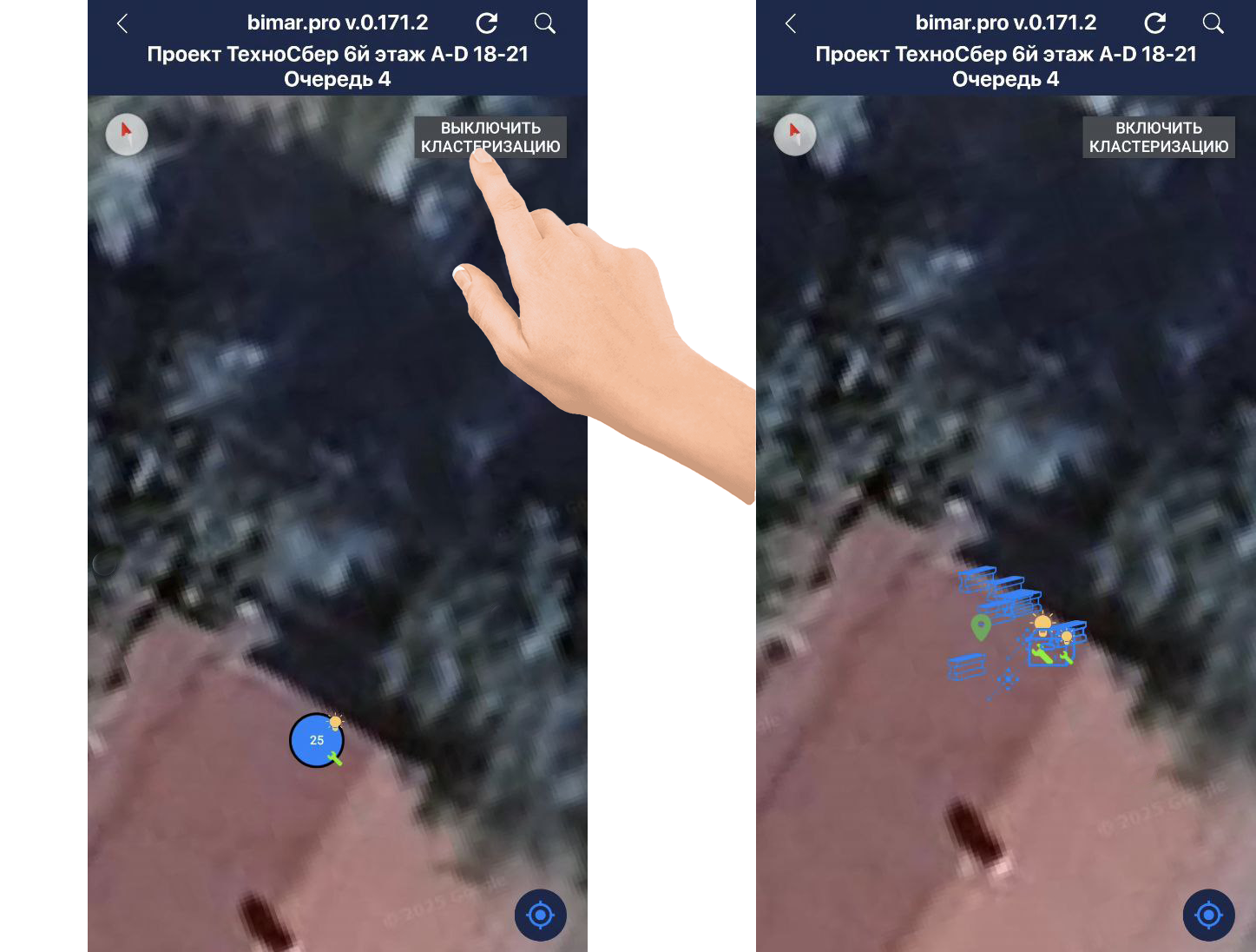
- With clustering enabled, tapping a cluster circle will expand a list of elements in that area.
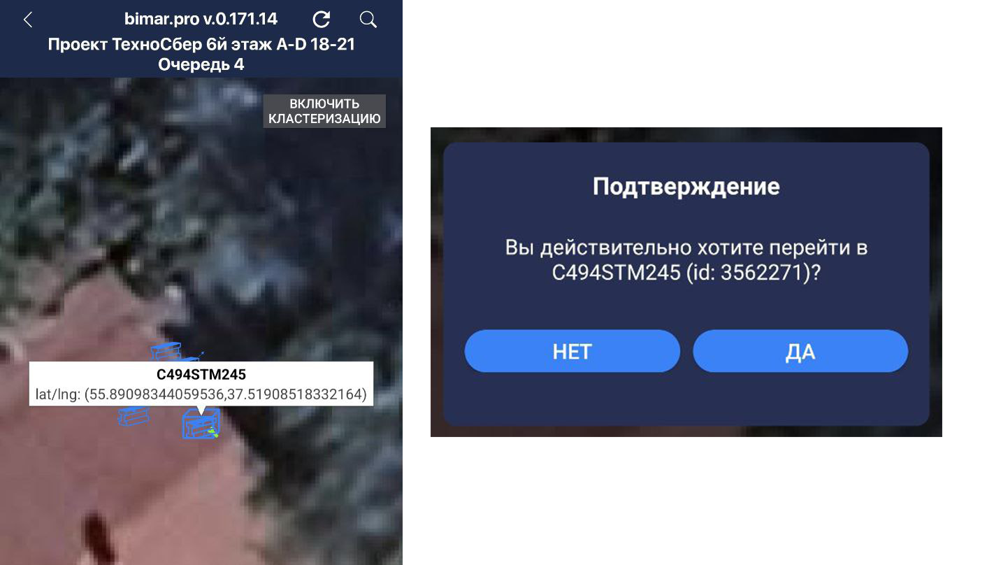
- With clustering disabled, tapping an element will show its name; clicking the name will open its element card.